01
Multi-sector experience
Our work spans food security, healthcare, education and humanitarian response.
A local non-profit based in Hargeisa, Somaliland
A local base gives Al-Awn a close understanding of communities and the ability to design practical food, health, education and humanitarian interventions.
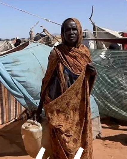
We believe impact begins with understanding communities, grows through long-term partnerships and protects human dignity at every step.
Our work spans food security, healthcare, education and humanitarian response.
We seek sustainable relationships rather than isolated interventions.
Humanitarian assistance should protect dignity while opening opportunities for a better future.
Al-Awn works from Hargeisa to serve communities in Somaliland according to available capacity, resources and partnerships.
Serving Today. Building Tomorrow.
Strong partnerships create lasting impact.